Documentation Revision Date: 2023-11-20
Dataset Version: 2.1
Summary
Documentation:
The Open API documentation page for the web service can be accessed from https://modis.ornl.gov/rst/ui/.
Example clients are provided on the TESViS Web Service page. Please refer to: https://modis.ornl.gov/data/modis_webservice.html.
How to Cite Data Obtained from the Web Service:
Please refer to Section 5 of this document and to the TESViS Citation Guidelines page for more information on how to cite data obtained through the web service.
Related TESViS Tools:
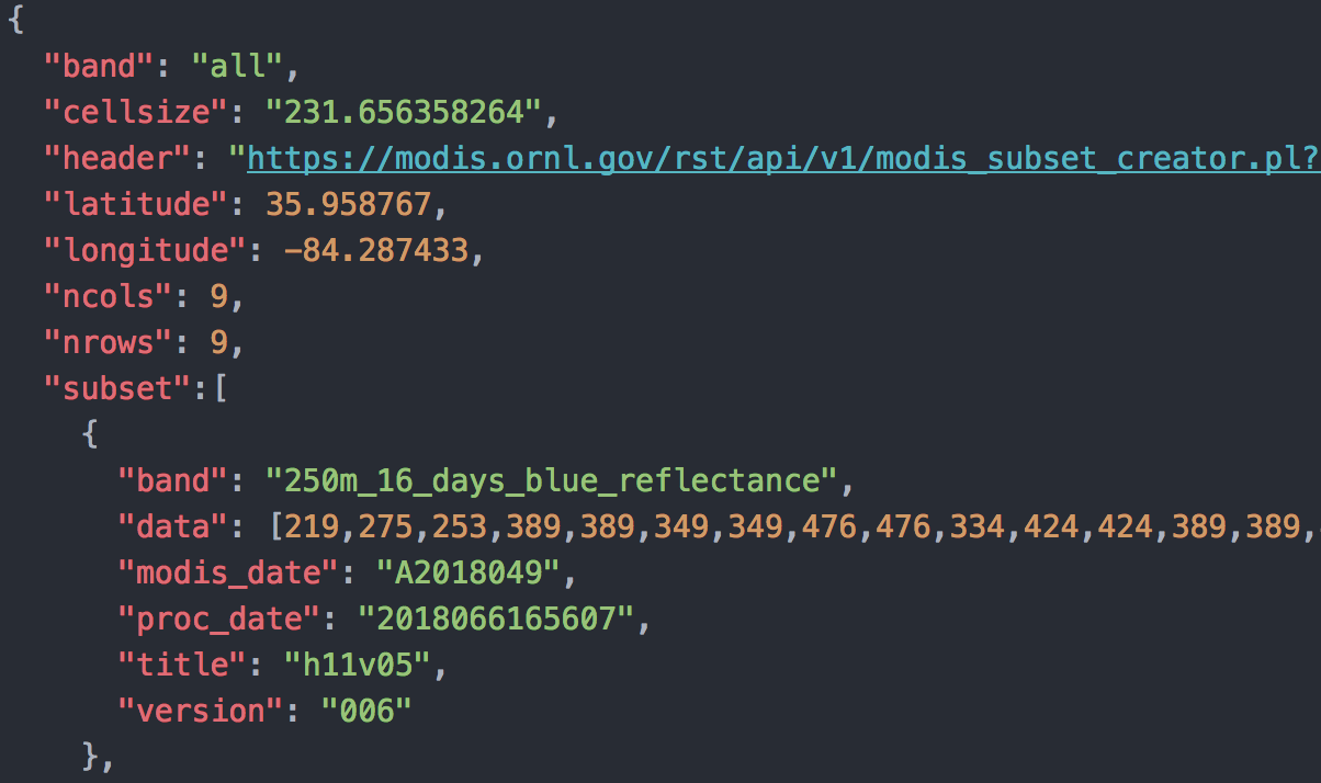
Figure 1. Users may access data through the web service for any land location on earth.
Citation
ORNL DAAC. 2018. Terrestrial Ecology Subsetting & Visualization Services (TESViS) RESTful Web Service. ORNL DAAC, Oak Ridge, Tennessee, USA. https://doi.org/10.3334/ORNLDAAC/1600
Table of Contents
- Dataset Overview
- Data Characteristics
- Application and Derivation
- Quality Assessment
- Data Acquisition, Materials, and Methods
- Data Access
- References
Dataset Overview
The TESViS Web Service provides data access capabilities for several terrestrial ecology data products. The web service provides data access functions for users to execute on their local computing resources. The web service is built upon the ORNL DAAC's TESViS Global Subsets that provides customized subsets and visualization of land products for any land location on earth.
With the web service users can retrieve land product subsets through command line operations (using wget and curl commands); download subsets directly into applications such as Python, R, Perl, Matlab, and others and integrate the subsets into client side workflows; download subsets and write custom code to use the subsets in a visualization; and download subsets and write custom code for data reformatting.
Data Characteristics
The data products available through the TESViS RESTful Web Service are generated by instruments on several NASA earth observation satellite platforms.
Please refer to the TESViS Documentation page for a list of available Collection 6 land products.
Application and Derivation
The TESViS web service streamlines the use of terrestrial ecology data products for characterization of field sites, validation of models and other remote sensing products, and other research activities.
Quality Assessment
The results of routine quality assessments are maintained at the MODIS Land Quality Assessment (MODLAND) site by the MODIS Land Science Team and provided through product metadata and per-pixel information for each MODIS granule.
Similar quality assessments are performed by the NASA Suomi NPP Land Science Team. More information about VIIRS validation is available at the Suomi NPP VIIRS Land site.
Data Acquisition, Materials, and Methods
Tool Description
The TESViS Web Service provides data access capabilities for terrestrial ecology data products. The web service provides data access functions for users to execute on their local computing resources. Available resource URIs are described in more detail here.
With the web service users can retrieve land product subsets through command line operations (using wget and curl commands); download and integrate subsets directly into client side workflows; download and visualize subsets with customized code; and download subsets and write custom code for data reformatting.
Data Access
These data are available through the Oak Ridge National Laboratory (ORNL) Distributed Active Archive Center (DAAC).
Terrestrial Ecology Subsetting & Visualization Services (TESViS) RESTful Web Service
Contact for Data Center Access Information:
- E-mail: uso@daac.ornl.gov
- Telephone: +1 (865) 241-3952
References
S.K. Santhana Vannan, R.B. Cook, S.K. Holladay, L.M. Olsen, U. Dadi, B.E. Wilson. A Web-Based Subsetting Service for Regional Scale MODIS Land Products (2010). IEEE JSTARS, 2(4): 319–328