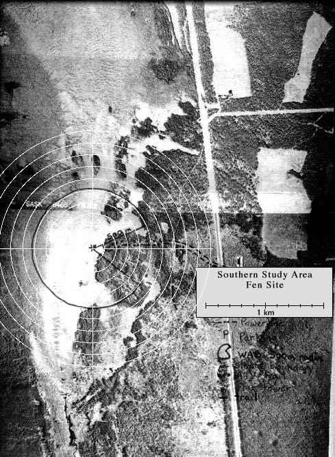
The Fen site had a small boardwalk leading out to the short tower complex within the bog. View an aerial photo-map of the SSA-Fen site.
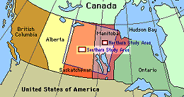 Location of the SSA within Canada. |
 Location of the Fen site within the SSA. |
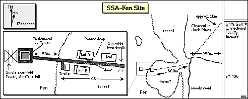 Map of the Southern Study Area Fen site. | |
| SSA Fen Flux Tower also called SSA-FEN-FLXTR (click here for detailed info) |
||
| Latitude: 53.80206 | UTM Easting: 525159.8 | BOREAS X: 419.527 |
| Longitude: -104.61798 | UTM Northing: 5961566.6 | BOREAS Y: 330.991 |
| Elevation (ASL): 524.7 m | UTM Zone: 13 | |
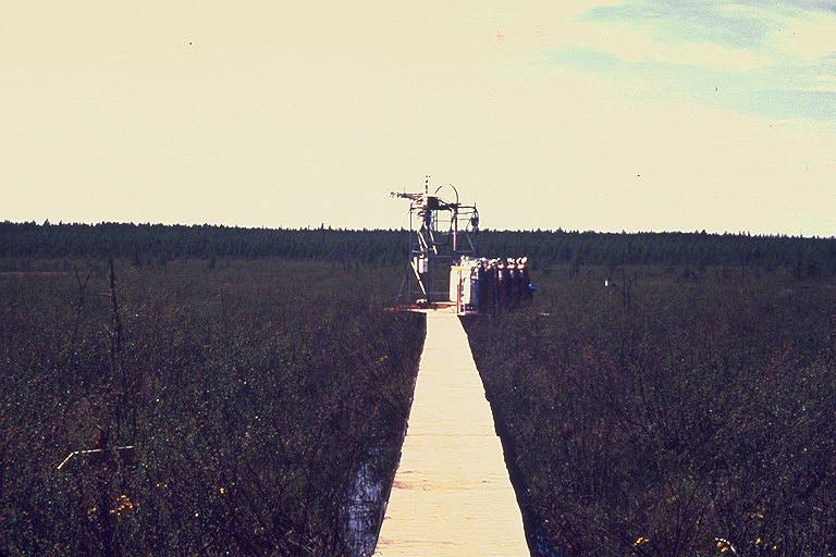 The flux tower at the Fen |  The huts at the Fen |
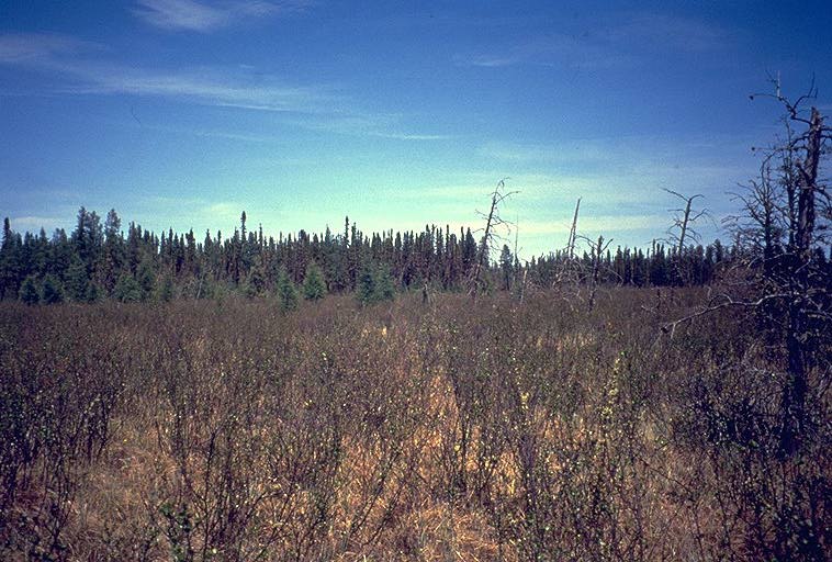 A general view of the Fen | |
Related Pages:
![]() BOREAS Home
BOREAS Home
![]() Study Region Overview
Study Region Overview
![]() Southern Study Area (SSA)
Southern Study Area (SSA)
![]() SSA Fen Site (SSA-Fen)
SSA Fen Site (SSA-Fen)
![]() NSA Fen Site (NSA-Fen)
NSA Fen Site (NSA-Fen)
Revison Date: January 25, 1999