 The BOREAS Information System
Southern Study Area - Prince Albert Airport
The airport for the Southern Study Area was the Prince Albert Airport, located about 90 km south from BOREAS Operations in Candle Lake.
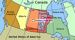
Location of the SSA within Canada. |
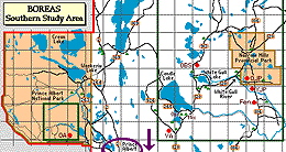
Location of the Prince Albert Airport, south of the SSA. |
SSA Prince Albert Airport
[actually, the location of the RSS-11 Sunphotometer at the airport]
also called SSA-999-YPA01 (click here for detailed info) |
|
| Latitude: 53.20004 | UTM Easting: 454320.6 | BOREAS X: 354.73 |
| Longitude: -105.68383 | UTM Northing: 5894742.2 | BOREAS Y: 258.25 |
| Elevation (ASL): 425 m | UTM Zone: 13 |
Pictures from the SSA-Airport Site
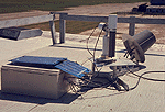
The RSS-11 Sunphotometer at the airport |
Pictures of BOREAS Aircraft

The NOAA Long-EZ Ultralight plane | 
The NASA C-130 |
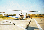
The NASA Helicopter | 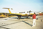
The University of Wyoming King Air |

The Ontario Chieftain | 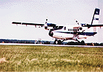
The NRC Twin Otter |
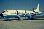
The NCAR Electra |
Other Sites: NSA || NSA-BP | NSA-Fen | NSA-OA | NSA-OBS | NSA-OJP | NSA-Ops | NSA-UBS | NSA-YJP
SSA || SSA-Airport | SSA-Fen | SSA-Mix | SSA-OA | SSA-OBS | SSA-OJP | SSA-Ops | SSA-YA | SSA-YJP
Related Pages:
 BOREAS Home
 Study Region Overview
 Southern Study Area (SSA)
 SSA Airport (Prince Albert)
 NSA Airport (NSA-Ops)
Revison Date: January 25, 1999


 The BOREAS Information System


