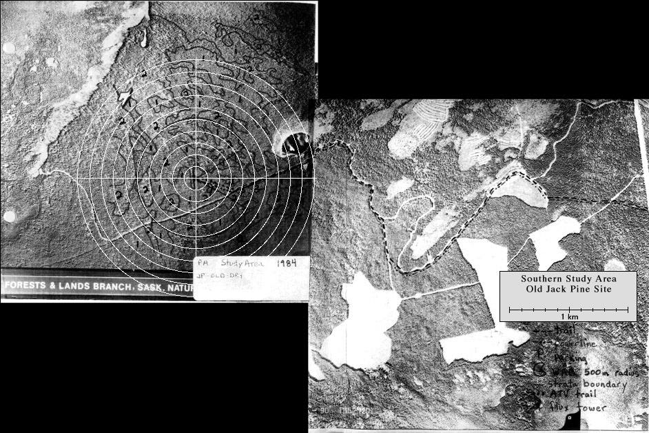
View an aerial photo-map of the SSA-OJP site.
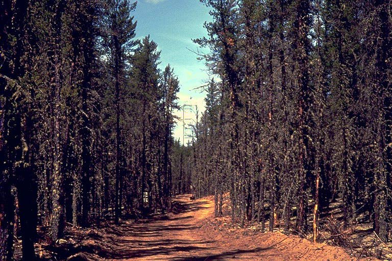 The road to the OJP site |
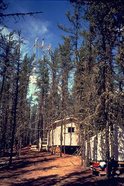 The flux tower and the hut |
 The truss tower connected to the flux tower by cables |
|
 The flux tower< |
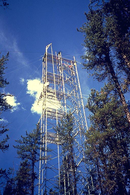
 The canopy access tower |
 The SRC meteorology tower |
|
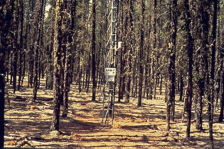
 The under-canopy flux station |
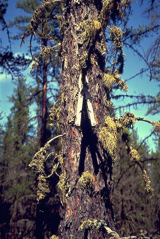 The moss-covered jack pine tree |
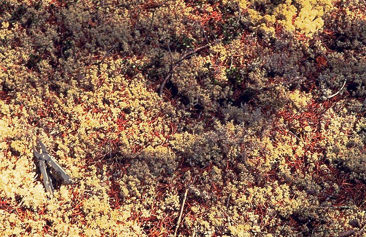 The ground cover at the OJP site |
|
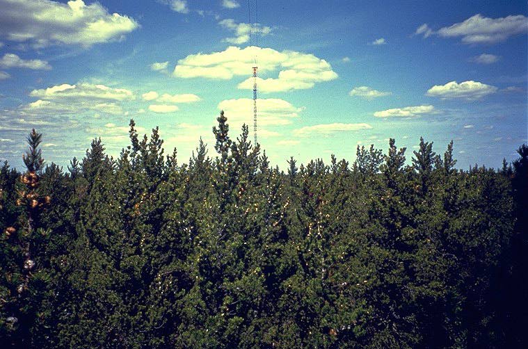
 Aerial view of the SSA-Old Jack Pine site looking to the northeast. |
 The Flux Tower at SSA-Old Jack Pine site. |
 The Sodar site. The NOAA sodar located near the Old Jack Pine in the SSA. |
|
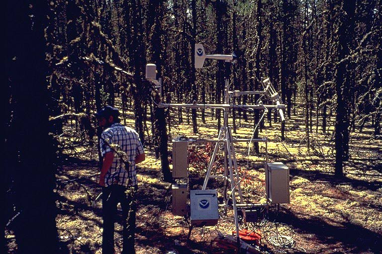
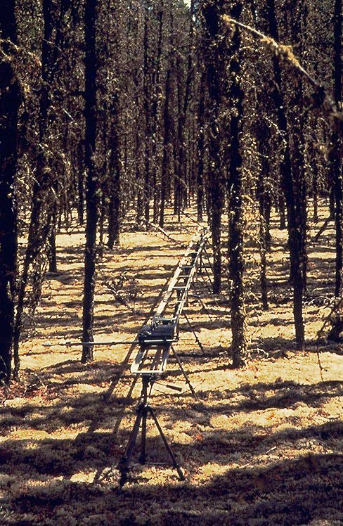 The under-canopy radiation track This is a 14 meter-long metal track in the forest with a mobile radiometer out on an arm on a small motorized cart (visible at the center of the picture) that travels through the forest taking measurements of PAR and net radiation. |
 Principal Investigator Dr. Dennis Baldocchi (TE-5) of the SSA-OJP working on his understory radiation instrument. |
||