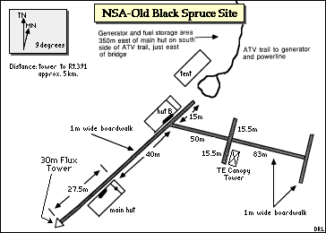
Old Jack Pine Site (NSA-OJP)

Aerial view of the NSA-OJP site during IFC 2. The Rohn tower and investigator hut are in the approximate center of the image with the generator hut at the extreme upper left. The top of the image is roughly southeast. Lichen understory beneath the canopy is clearly visible.
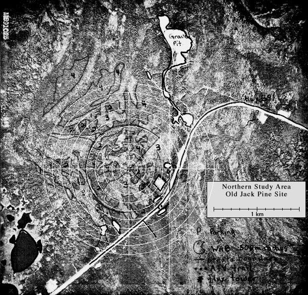
View an aerial photo-map of the NSA-OJP site.
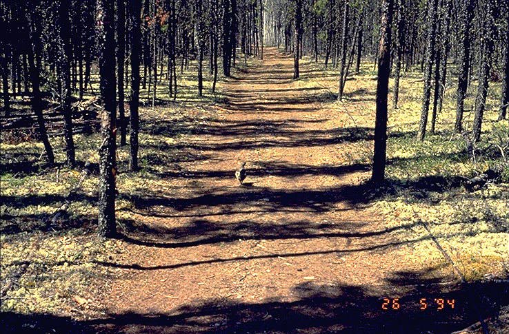 The dirt road leading to the NAS-OJP site |
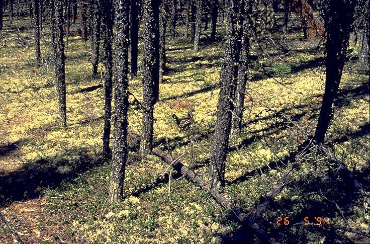 Jack pines and ground cover |
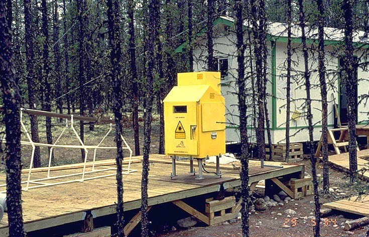 Laser Ceilometer |
|
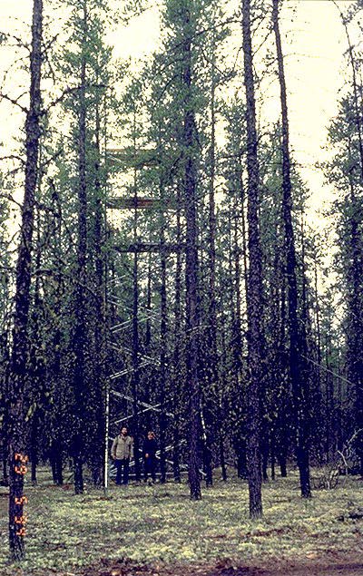 Canopy access tower near the road |
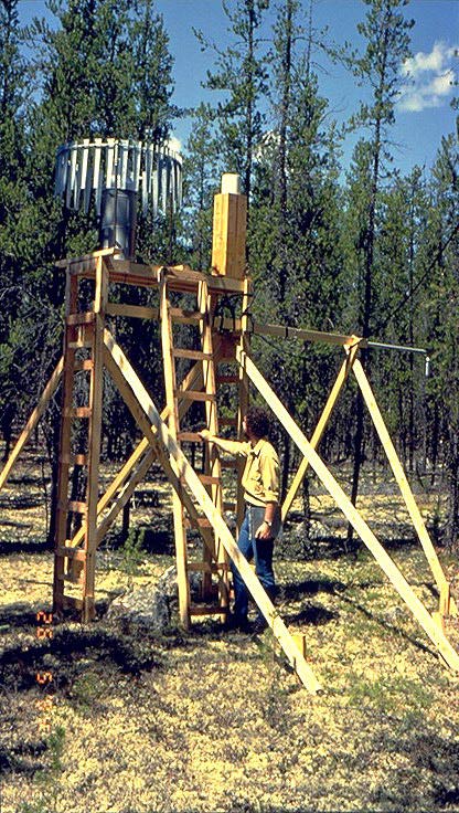
 Base of the SRC Met tower |
 Rain gauge |
|
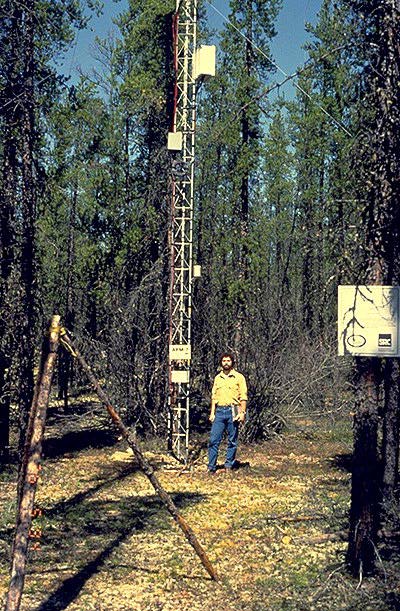
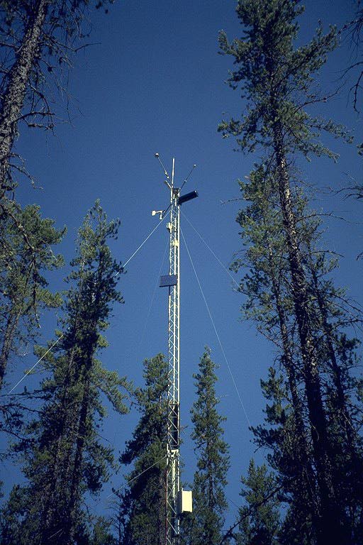 SRC Met tower |
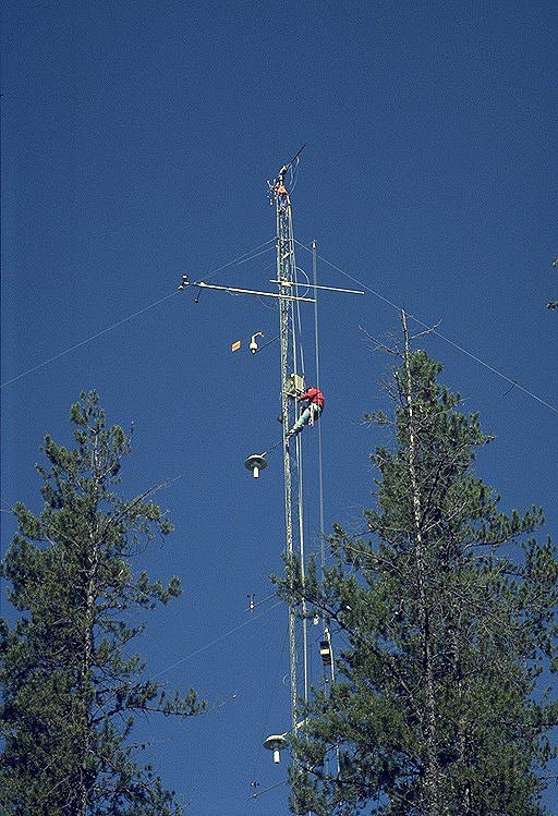 Flux tower and climber |
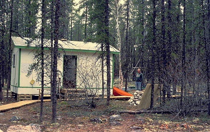 Hut and Dave Fitzjarrald |
|
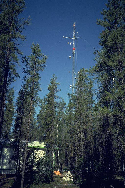 Hut and flux tower |
 The Rohn tower at the NSA Old Jack Pine site showing the shelter temperature gauges and anemometers at several heights and flux measuring equipment on the top. |
||