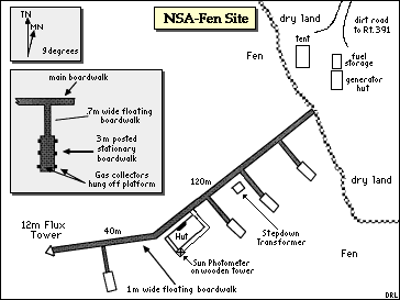
Fen Site (NSA-Fen)
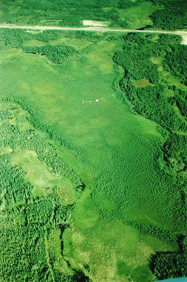 The Fen from the air, looking North. You can see the boardwalk, the hut, and the size of the bog. The road (Highway 391) is visible at the top. The round "crater" near the base of the boardwalk on the right is a collapsed palsa. |
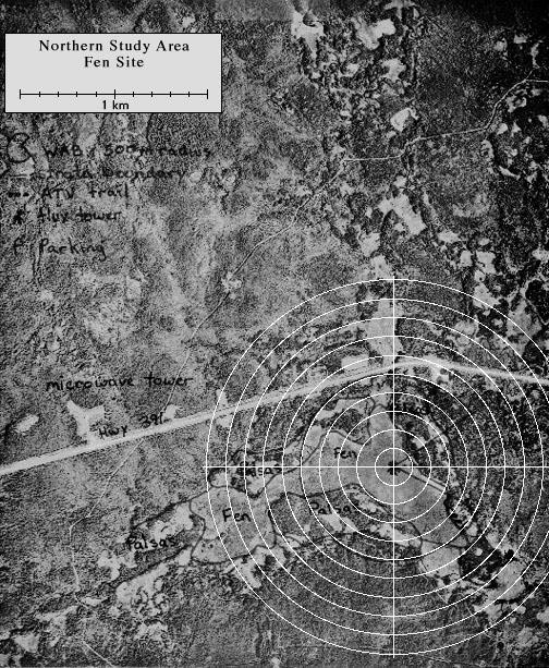
View an aerial photo-map of the NSA-Fen site.
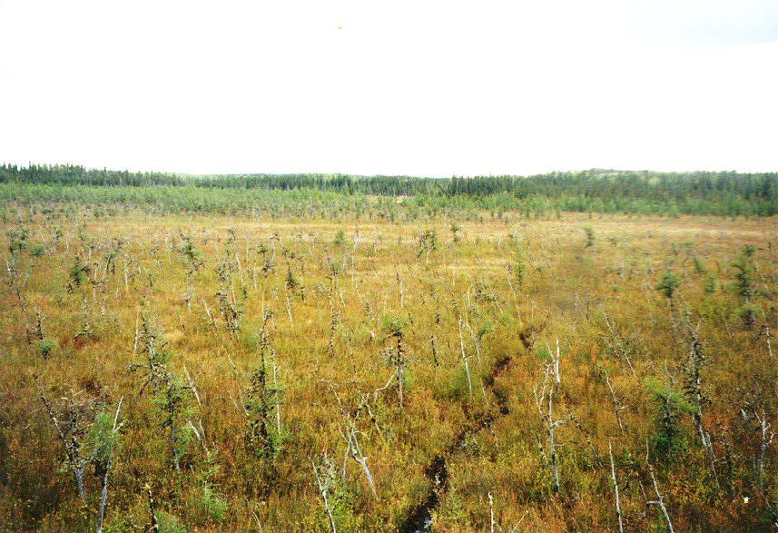 The ground cover on the Fen itself |
 The hut and flux tower |
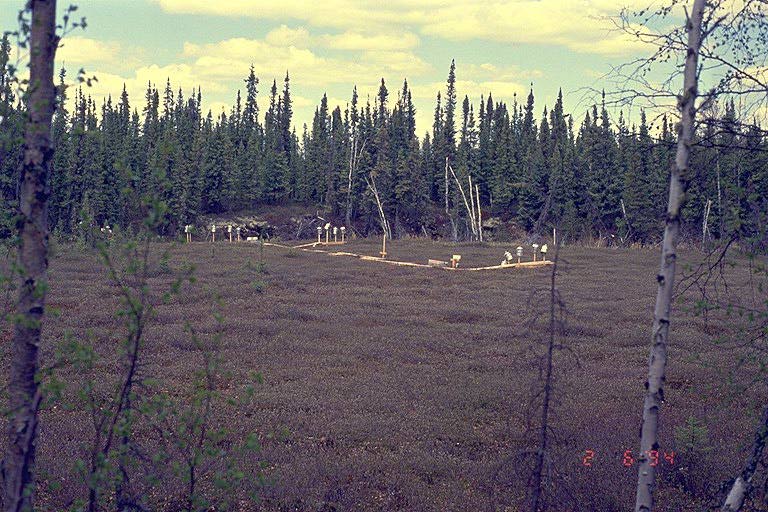
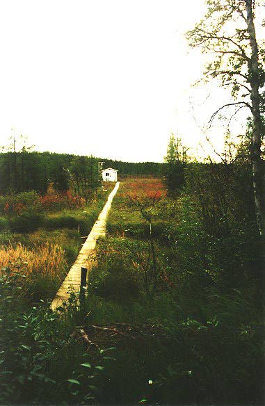 The Fen site from the shore looking toward the hut |
|
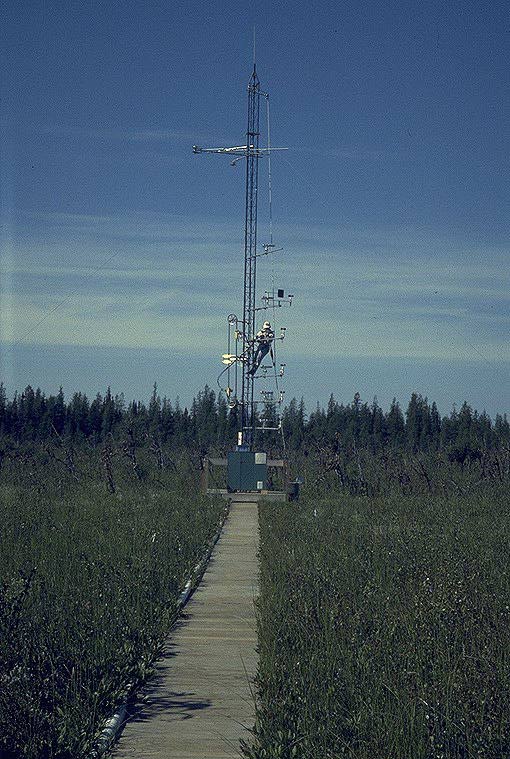 The Fen site flux tower |
 The boardwalk in the Fen, looking back at the shore |
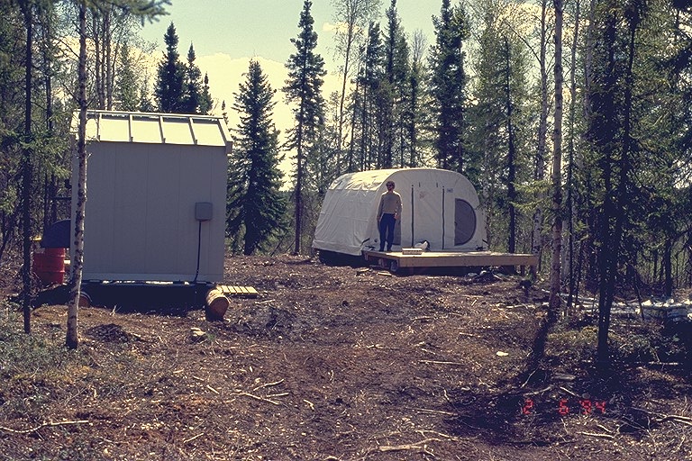 The generator shed and the storage tent |
|
 The NSA-Fen site from the air during IFC-2. Top of image is to Southeast. |
 The NSA-Fen site in September (IFC-3) 1994 looking to the southeast. The tower is at the end of the boardwalk in right center of image with the hut near the center. The boardwalk connects to the far border at left center of the slide. Note that the tamarack (deciduous evergreen) within the fen has its fall colors. |
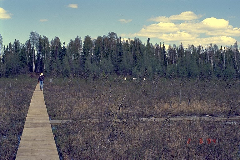
 Image taken on the boardwalk at the NSA-Fen during IFC-3 heading west from the shore. |
|
 The boardwalk at the NSA-Fen taken during IFC-2. |
 The Palsa site just to the west of the NSA-Fen site. View is to the Northeast. Jill Bubier contemplating her site during IFC-3. |
 The boardwalk at the NSA-Fen taken during the winter FFC. | |
 The boardwalk in the collapsed palsa |
 The gas collectors in the collapsed palsa |
||