Documentation Revision Date: 2017-05-02
Data Set Version: V1
Summary
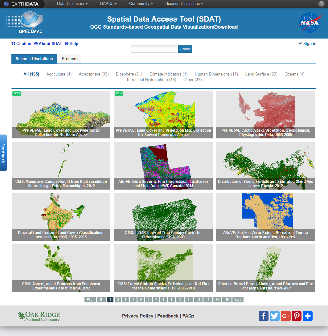
Figure 1: Screenshot of the ORNL DAAC Spatial Data Access Tool web application user interface showing some of the data sets available for visualization and subsetting.
Citation
ORNL DAAC. 2017. Spatial Data Access Tool (SDAT). ORNL DAAC, Oak Ridge, Tennessee, USA. https://doi.org/10.3334/ORNLDAAC/1388
Table of Contents
- Data Set Overview
- Data Characteristics
- Application and Derivation
- Quality Assessment
- Data Acquisition, Materials, and Methods
- Data Access
- References
Data Set Overview
The goal of the ORNL DAAC Spatial Data Access Tool (SDAT) is to allow users to easily find, visualize, and access heterogeneous environmental data, which were collected through field campaigns, aircraft/satellite observations, and model simulations.
The ORNL DAAC SDAT is a suite of standard Web mapping, subsetting, and transforming services and applications to put ORNL DAAC spatial data into a standard format and make the data ready to be visualized and downloaded in an on-demand manner through standard OGC Web services. Over 160 ORNL DAAC-archived and other relevant data sets including land cover, biophysical, elevation, ecosystem, climate, soil, and related model output data types are currently available through the ORNL DAAC SDAT interface.
The ORNL DAAC SDAT offers multiple options for geospatial data visualization and download, including the SDAT Web User Interface (UI), SDAT MapWidget, and SDAT Keyhole Markup Language (KML) documents. SDAT Web UI is a Web-based application that allows users to leverage OGC WMS to produce dynamic maps. It also provides options for users to specify WCS/WFS parameters, such as projection and resolution, to customize, subset and download geospatial data. SDAT MapWidget provides a light-weight Javascript library and allows interactive viewers for SDAT data to be easily added onto any Web pages. SDAT KML provides Google Earth KML files that allow for visualization of the data dynamically within the Google Earth software.
Data Characteristics
The data products available through the Spatial Data Access Tool include a large variety of data sets including both the ORNL DAAC data holdings and other relevant data sets. The spatial and temporal coverage and resolution vary depending on different data sets. Besides each data sets's native projection, the SDAT UI offers multiple projection options, e.g. WGS84 and Google projection, for data visualization and map downloads.
For more details, and a usage tutorial, please refer to https://webmap.ornl.gov/ogcdown/help/sdat_help_index.html.
Application and Derivation
The ORNL DAAC SDAT provides a common framework and standard service interfaces for ORNL DAAC data holdings to increase their interoperability and usability, and promotes their usage through easy and interactive visualization.
Quality Assessment
Refer to the documentation for each individual data product for quality assessment information.
Data Acquisition, Materials, and Methods
The SDAT tool was described in Wei et al., (2009).
For the most up-to-date information, please refer to https://webmap.ornl.gov/ogcdown/help/sdat_help_index.html.
Data Access
These data are available through the Oak Ridge National Laboratory (ORNL) Distributed Active Archive Center (DAAC).
Spatial Data Access Tool (SDAT)
Contact for Data Center Access Information:
- E-mail: uso@daac.ornl.gov
- Telephone: +1 (865) 241-3952
References
Wei, Yaxing; Santhana-Vannan, S.-K.; Cook, R.B.; , "Discover, visualize, and deliver geospatial data through OGC standards-based WebGIS system," Geoinformatics, 2009 17th International Conference on , vol., no., pp.1-6, 12-14 Aug. 2009. https://doi.org/10.1109/GEOINFORMATICS.2009.5293520