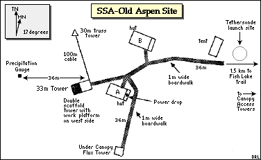
View an aerial photo-map of the SSA-OA site
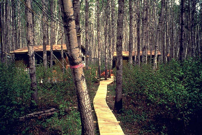 The two huts and boardwalk |
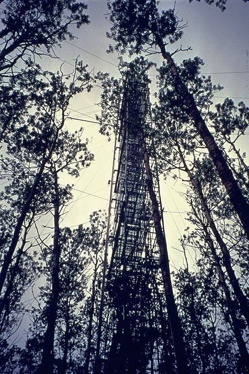 The scaffold flux tower |
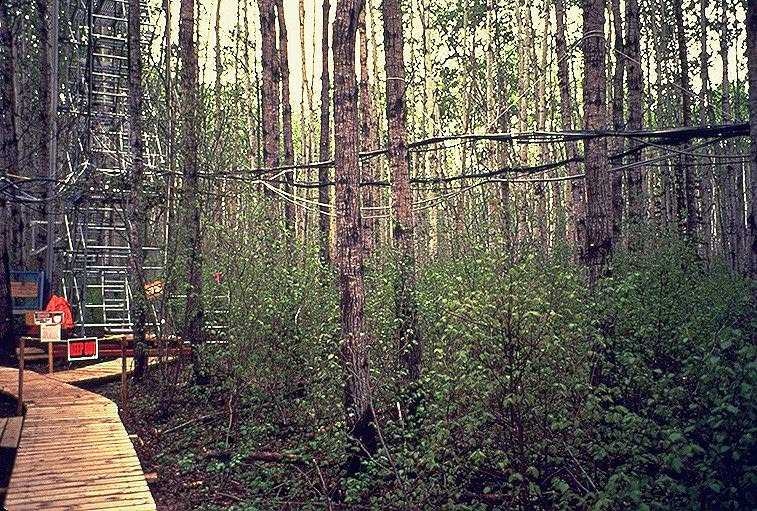 The base of the scaffold flux tower |
 One of the canopy access towers |
 The SRC meteorology tower |
 The truss tower and cables from the flux tower |
 Cabled tethersonde above the SSA Old Aspen (SSA-OA) site |
 The tethersonde about to be launched (tethered balloon and radiosonde) |
 Picture of the SRC meteorological tower at the SSA-OA site taken from the flux tower. |
 Improved road into the SSA-OA site within the Prince Albert National Park. |
 Aerial of SSA-OA tower during the winter IFC. |
 SSA-OA flux tower about 40 meters in height, approximately 20 meters above canopy. |
 Photograph of investigator hut and boardwalk at the SSA-OA site. |
 Andy Black and associate within the hut at the SSA-OA site showing the various recording and data display instruments from the tower. |
 The TE canopy access tower at the SSA-OA site. |