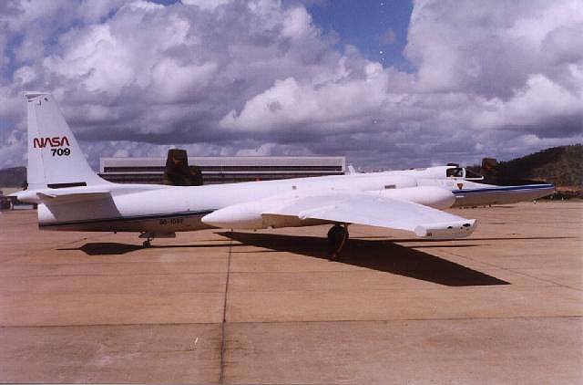
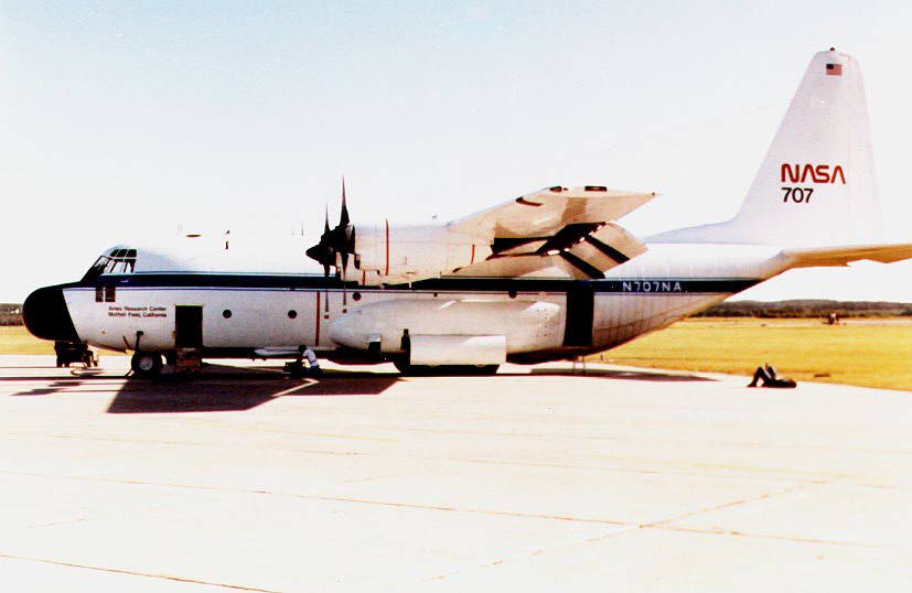
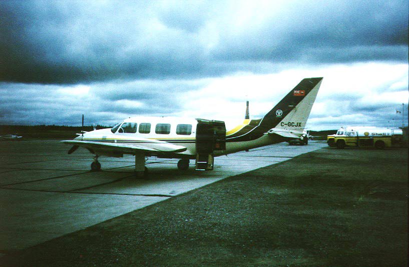
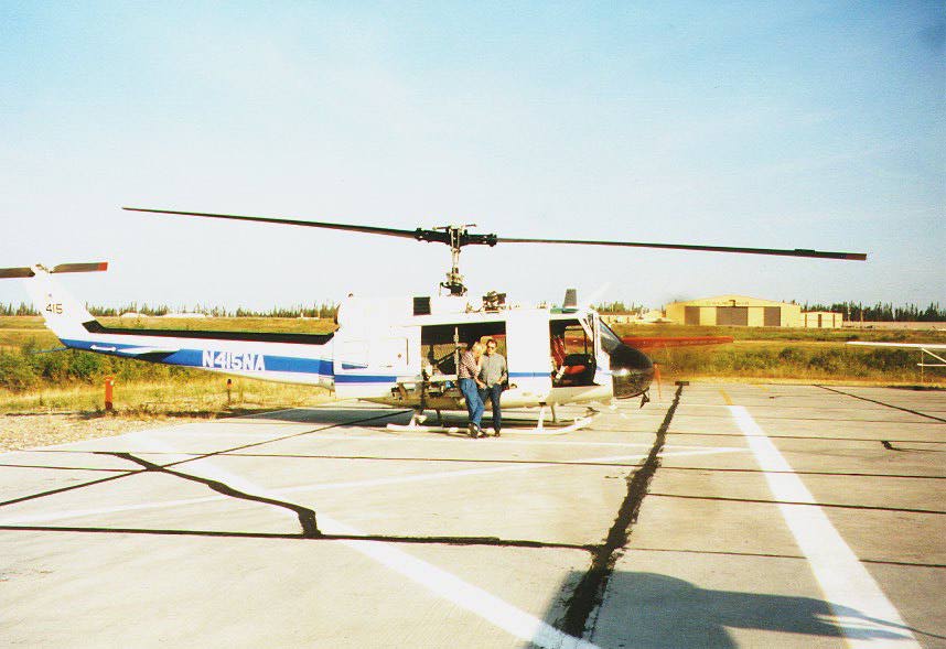
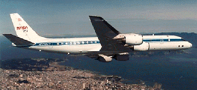
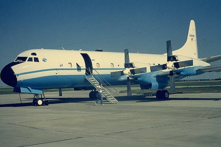
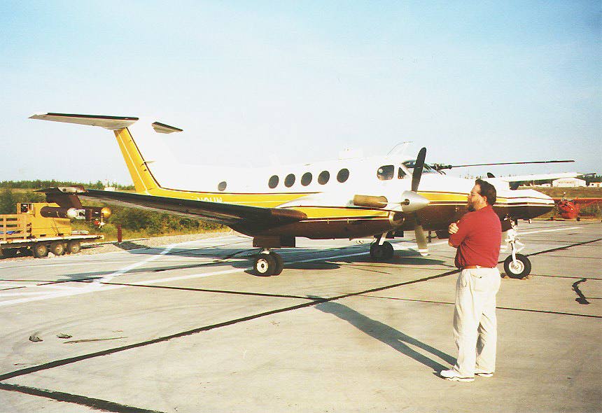
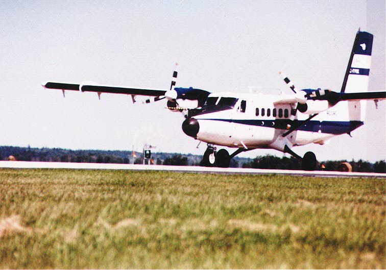
The second intensive field campaign of BOREAS (IFC-2) ran from 19 July 1994 through 10 August 1994. Once again, the initial focus was in the Southern Study Area (SSA) near Prince Albert, Saskatchewan. Most of the research aircraft were based at the local airport and many of the teams working on remote sensing science had set up sites within the nearby forest. On 21 July 1994, two days after the start of IFC-2, a high pressure ridge moved over the SSA and sat there for about 12 hours giving clear sky conditions over the entire 140x60 km area. All ten aircraft that were committed to the experiment at the time flew that day for a record total of sixteen research missions. The resulting data set is truly impressive: in addition to the continuous surface measurements made by twenty-five science teams on the surface, the aircraft collected a wide range of coordinated optical (NASA ER-2, NASA C-130, Chieftain, NASA Helicopter) and microwave (NASA DC-8, CV-580) remote sensing data, and a comprehensive set of low-level surface flux measurements (NCAR Electra, U. Wyoming Kingair, Canadian NRC Twin Otter, NOAA Long-EZ).
After a few more days activity near Prince Albert, the bulk of the BOREAS aircraft moved up to Thompson, Manitoba on 26 July 1994, to work at the Northern Study Area (NSA) on 26 July 1994. At this point, the streak of good luck that BOREAS had enjoyed from the beginning showed signs of flagging. A number of huge forest fires were raging across Northern Canada from Manitoba all the way to British Columbia. The nearest fire to the NSA was located in the bush some 30 miles north (and directly upwind) of the area; this fire alone was burning on a twenty mile front. Visibility at Thompson Airport dropped steadily for several days to the point where all incoming air traffic was subject to instrument flight rules (less than 3/4 miles forward visibility). Collecting good data under these conditions was difficult for many parts of the project and obviously impossible for most of the aircraft equipped with optical remote sensing equipment.
On the last morning of IFC-2, the skies cleared for just over two hours; long enough for the NASA C-130 to acquire a minimum data set. Among other things, the NASA C-130 acquired MODIS (Moderate Resolution Imaging Spectrometer) Airborne Simulator (MAS) data over both the SSA and NSA during this campaign.
